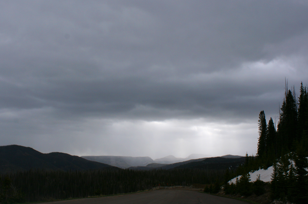
I did not get any thunder with the snow, but the trip up to the pass proved more than worth the effort. This snow devil formed right next to my car at Wolf Creek Pass. It is the closest video I have ever gotten of a snow devil:
In addition to the snow devil, high wind that occurred with the band of high-mountain snow brought some pretty intense blowing dust and blowing snow to the area around Wolf Creek Pass during the late morning and mid-day hours. At least 4 severe-level gusts (58+ mph) were measured during the time I was up there hoping for thundersnow, with a peak gust of 63 mph at the Wolf Creek Pass (KCPW) automated weather station. The station is at the Lobo Overlook, near the top of the ridge in the background near the end of the video, so the gusts may have been a bit stronger up there, but they were not much less where I was. Had there been thunder, this would have qualified as a severe thunderstorm, with snow. As it was, I was able to get video of blowing dust, blowing snow, and sometimes both together. No thundersnow, but well worth the trip up for what is in this video and the other one I linked above of a close-up snow devil.
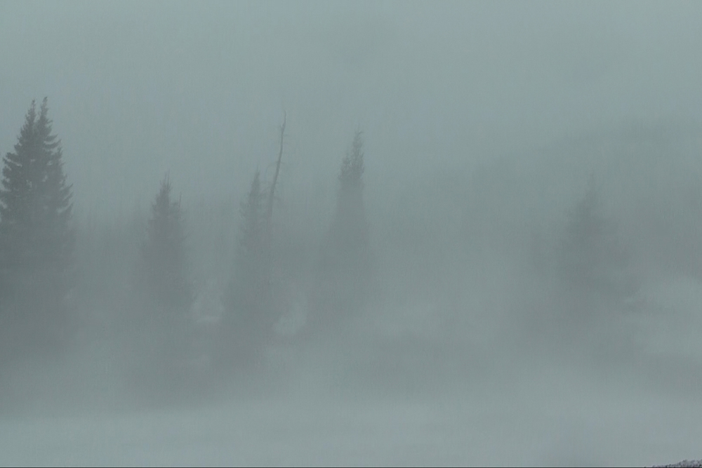
Here is a video frame capture from the burst of blowing snow, showing just how the visibility got for a time:
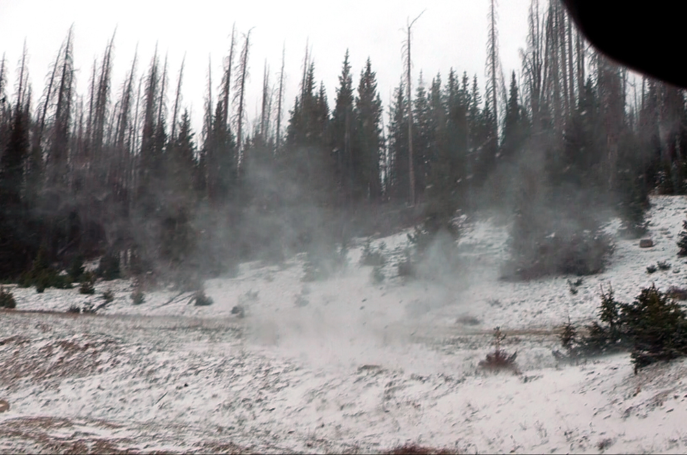
Although 1-3 inches of snow had been predicted for the area around Wolf Creek Pass, the storm was a bit slower to arrive than originally anticipated, and despite the intense wind, did not produce the predicted amount of snow. It did accumulate around 1/2 to 3/4 inch on grassy areas, and accumulated enough to cover US 160 near the pass with snow and slush for a short time. Plows were out and made quick work of that, though.
Total chase distance: about 60 miles (a lot less than the drive to northern Kansas and back!)
Return to 2025-26 Winter Weather Observation page
Return to main Severe Weather Observation page