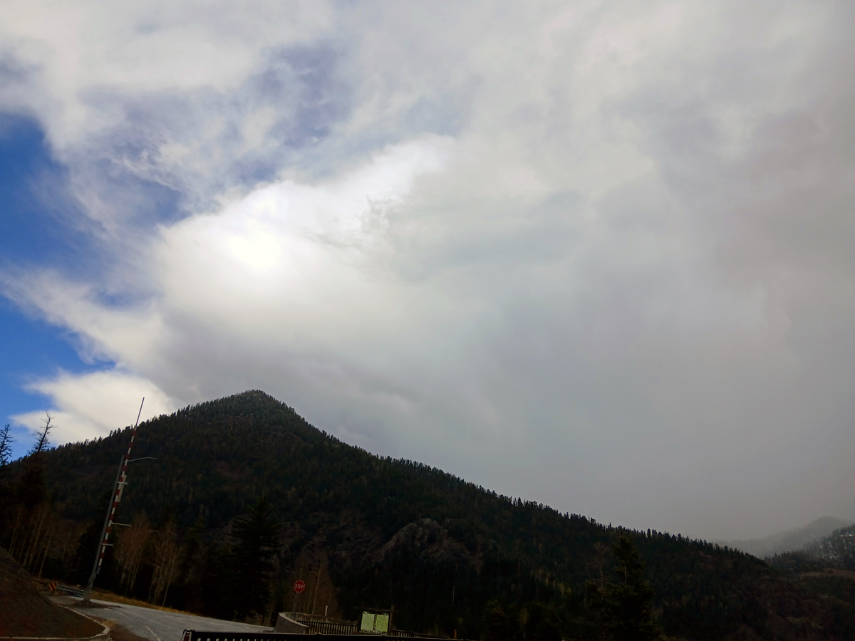
April 7 - Another storm roled through the area on April 7, and I decided to try a thundersnow chase at Wolf Creek Pass. Although it snowed hard there and there was thundersnow in the wilderness areas, I did not get any thunder at the pass or ski area. Definitely a convective setup, though, as the two pictures below that I got when I headed back down to the scenic overlook several miles west of the pass show. I did get a rumble of thunder there, but not with snow - that was to my west, from the storm in the first picture (mainly the updraft area in that pic with some snow or graupel starting to fall, maybe turning to rain when it reached the valley floor). The heavier snow with thunder was farther west or NW out of the picture behind the mountains on the right side of the picture.
Here is a picture looking east at mainly the anvil of another cell passing south of Wolf Creek - also taken from the scenic overlook.
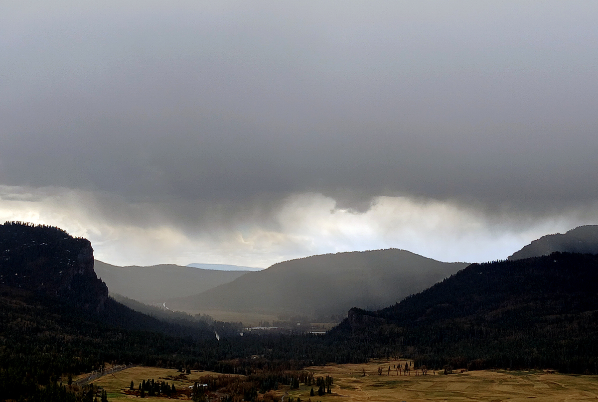
April 11 - Finally with the third storm in less than 2 weeks, it is looking like a real pattern change from the year without a winter! I observed a hundersnow storm southeast of Wolf Creek today. A little bit of this storm passed over there and did drop some snow, probably with thunder, but before I got there. Looking southeast, I got this picture:
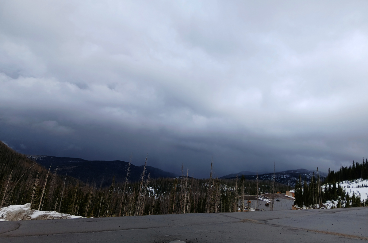
Just after I took this picture, there was a rumble of thunder as the storm moved away to the northeast. Most of the heaviest storms stayed south and southeast of Wolf Creek, although a little while after taking this picture I got one loud crack of thunder as snow began to fall again at Wolf Creek - but only managed to get a few seconds of it on video as I was not filming when it started - really nothing useable. But at least I experienced thundersnow today! First time this season, and what would turn out bo be only one of two times all season. After this, though, the pattern change took a break for nearly 3 weeks.
Return to 2025-26 Winter Weather Page