I thought the chances of thundersnow in the San Juans was pretty good on this day, and I was hoping to head up for a thundersnow chase after running some morning errands. The setup was quite favorable. A strong jet stream was blowing south to north over Colorado along the leading edge of a deep, slow moving trough over the western U.S. associated with a strong low pressure area and trailing cold front of Pacific origin. Along and ahead of this feature, thunderstorms had been widespread since late afternoon a couple days earlier (including even a storm that produced a severe (62 mph) gust in Pagosa Springs, and another that produced a brief barrage of hail an hour later). But with the jet stream directly overhead, this day would likely have the best dynamics and most widespread thunderstorm activity. The air at low altitudes was still quite warm, but somewhere above around 10-11 thousand feet above sea level, the precipitation type would be snow. And with the strong dynamics and along with steep lapse rates resulting from the relatively warm air down low and colder air moving in higher up, thunderstorms seemed likely. In fact, the forecast for the area around Wolf Creek Pass said that thunderstorms with snow were likely at higher altitudes. As I was finishing my errands just before noon, a band of light thundershowers was approaching Pagosa Springs from the west, with the individual cells moving rapidly toward the NNE but the overall line making slower eastward progress. I could see that the precipitation type coming out of the cloud bases was snow and/or graupel (snow pellets), but this precipitation was melting to rain well above the ground, except in the higher peaks north of Pagosa Springs, where it did appear to be snow reaching the ground. This band produced a light thundershower in Pagosa around 12:30, barely enough to wet the ground. Additionally, the radar returns on this line of thundershowers, for the most part, were not very impressive. My initial thinking at that time was to wait for more storms to move in before heading up to the pass, as the radar did show multiple trailing bands of showers and thunderstorms behind the leading one. However, after the line passed over town, the amount of thunder actually increased, as the precipitation was in a band just east of town, between Pagosa Springs and Wolf Creek pass. This made me decide to head up to the pass, figuring that if this band did now work out (which I still thought was a good possiblity), there would be more trailing bands that might. So by 1 p.m. I was driving through Pagosa Springs, headed for Wolf Creek Pass.
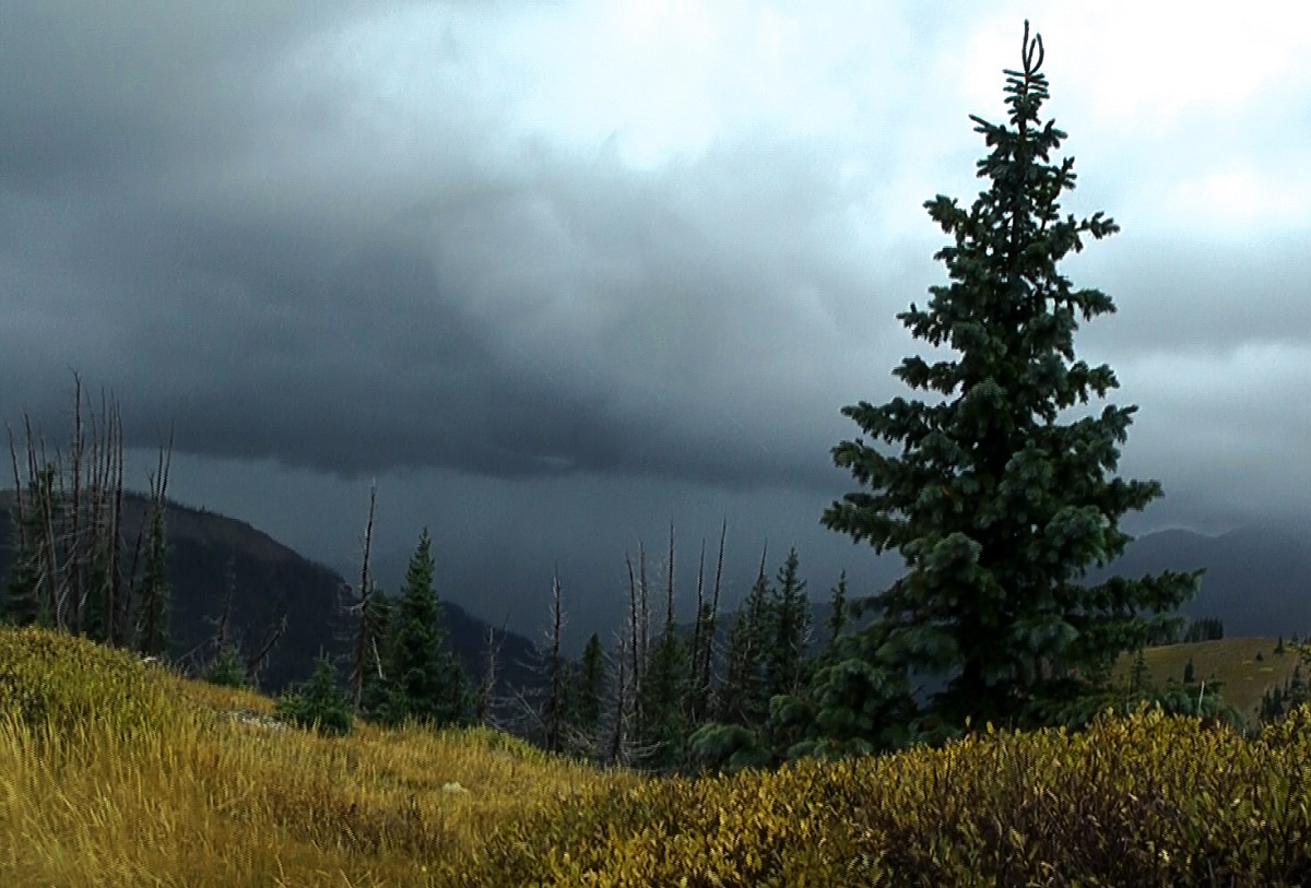
At first, the band of showers and thunderstorms between me and the mountains looked fairly promising, as a new precipitation core formed just west of the South San Juan Wilderness, in a location that with the storms' movement would take it near Wolf Creek. But by the time I got to the pass, likely just after 1:30, this entire band of precipitation had pretty much dissipated. However, I could see, both visually and on radar, that the next band of showers and thunderstorms, by then just west of Pagosa Springs with a pretty strong core just southwest of town, had become pretty substantial and was likely backbuilding enough to reach the Wolf Creek Pass area rather than passing west or north of it. Since I had time, I decided to take the 3-mile, winding, unpaved road up to the Lobo Overlook, just north of Wolf Creek Pass. I could see several advantages to doing so. First, since it is at the top of a mountain along the Continental Divide, the view in most directions is much less obstructed than at the summit of the pass. Second, with the higher elevation (11,760 feet), it would be more certain that the precipitation type would be snow than in Wolf Creek Pass (elevation 10,856 feet). And finally, with cell towers at the top of the mountain right next to the overlook, getting data would be easier than in the pass, where the signal is often spotty due to mountains blocking it in many spots. By the time I reached the Lobo Overlook parking lot around 1:45, there were already intermittent spritzes of graupel/snow pellets, even though the main band of showers and storms was still well to the west. And no rain mixed in! To my northwest, the higher peaks were already snow-covered. The movement of the precipitation was still the same - individual cells moving rapidly to the NNE, while the overall band was shifting east at a slower rate. Soon, it was evident that the precipitation had backbuilt enough that a decent burst would reach my location. To my southwest, a distinctive gust front feature was evident:
This area would like pass right over my location, or at least very close to it. Soon, precipitation began to also fall from the updraft base ahead of the gust front feature, and I knew the heavier precipitation was very close. Still no thunder up to this point, though. I decided to slightly reposition my car in the parking lot so that the wind and snow would be blowing away from the driver-side window that I was looking out of and getting video from. Soon the graupel (snow pellets) that had been falling intermittently since I arrived at the overlook became steadier and heavier, and the wind increased. Then, gradually, the graupel transitioned to mostly ordinary snow. There was some back and forth in the mix of ordinary snow and graupel from then on, but most of it was ordinary snow. Perhaps 4 or 5 minutes after the heavier precipitation began, I started to hear distant rumbles of thunder. So low, at first, that the video camera did not even pick up the sound of it. But after a few more minutes it became louder and much more frequent. I ended up getting about 5 minutes of frequent thunder with the snow and an occasional mix of graupel with it. Lightning was close enough to be visible 3 or 4 times, and there were two very close and very visible flashes, followed by a crack of thunder within a second. So these two flashes were within a quarter mile of me. This made me a little nervous to have the window rolled down, and I did back away from it a bit, but was fine. And then the thunder and lightning ended almost as quickly as they started, with only one more rumble of thunder after the second close lightning and thunder. But the snow kept coming down, and the wind increased. But no more thunder, so arould 2:30 I started the trip back down. I think that the period of thundersnow was mainly between about 2:10 and 2:20. By the time I left, there was some accumulation of the snow, perhaps up to a third of an inch in some of the grassy areas although very little on the road due to the warm ground. As I headed down, I was surprised that before I even got down to Wolf Creek Pass, rain began to mix in, and by the time I was back down to the pass, it was more rain than snow. Although I suspect there was more snow at the pass level at the height of the storm, I was glad that I had gone up to the Lobo Overlook where there was no rain mixed in at all. Continuing down from the pass, I did encounter a couple heavier bursts of precipitation with a little more snow mixed in, so I would imagine the snow at the overlook continued for a while after I left. And by the time I got back to Pagosa, a third band of thundershowers was moving through, and this band produced more snow in the mountains. By the next morning, the mountains visible from town had a nice coating of snow at the upper altitudes, and there was enough snow a little farther north in the Weminuche Wilderness that the mountains still remained snow covered 3 days after the storm passed.
I made two edited videos from the video that I got. The short version, under a minute and a half, shows the two closest flashes of lightning and the thunder that quickly followed. The longer version, about nine minutes, shows the entire cycle of the storm during the time I was at the Lobo Overlook, including its approach and arrival and all of the thundersnow that I was able to capture on video, a dozen or more rumbles of thunder, some very loud.
Here is the short video clip. showing the two close lightning flashes, quickly followed by loud thunder:
Here is the longer video clip, showing the entire cycle of the storm:
Return to 2023-24 Winter Weather Observation Page>