
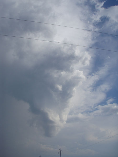
As it turns out, I saw storms along I-72 from west of Niantic, IL into the west side of Decatur similar to what several other Illinois chasers saw around that area and around Urbana. Basically I was trying to catch up with the storm from behind, with the haboob (large dust storm kicked up by the storm's strong outflow) ahead and to my right and the hail core ahead and to my left. Here are a couple pics from I-72 just west of Niantic, looking SE:
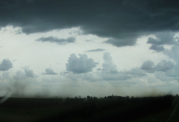
A couple minutes before these photos, the updraft pulled up some of the dust and it went about halfway up. Also, when I briefly stopped to photograph the storms at the Niantic exit, a couple fire trucks raced by to put otu a small fire I had seen south of I-72 a mile or two back, perhaps started by lightning. The dust and smoke mixed as they blew up and toward the clouds above. I caught up to the storm at the west edge of Decatur, but was running on fumes by then. (I had an art show the previous night and after taking down my tent at 11 p.m., did not think about filling my tank for a possible storm chase the next day). So, I had to stop for gas. By the time I was done with that, the storm was hopelessly ahead of me, so I decided to drop south on 51 hoping to get back ahead of the storms on the way home. Soon I saw a nice-looking storm exploding ahead of me, and it went SVR-warned and dropped up to quarter-sized hail in the Centralia, IL area. But by the time I caught up, the once-impressive updraft had dwindled down to this:
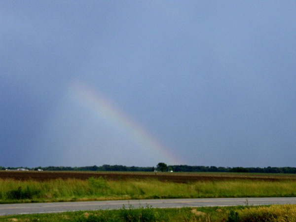
It did still give me a few CGs and this rainbow: