
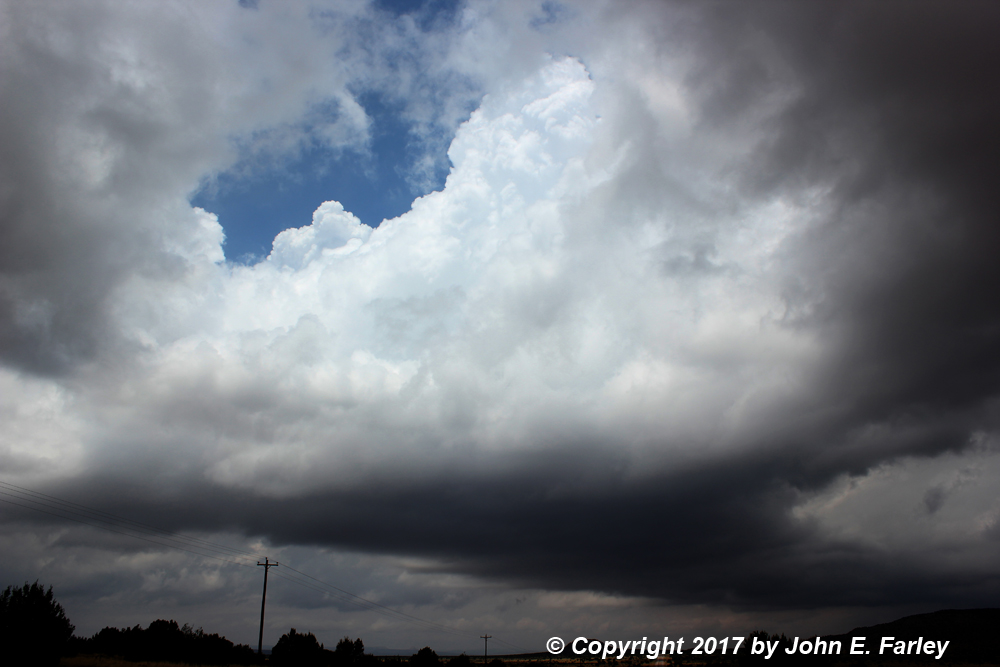
This would be the third consecutive day with instability and likely storms in eastern NM, but would probably feature the greatest instability with CAPE in the 1500-3000 range in much of NM east of the dryline, which today would be sharper than on Monday and, unlike Monday or Tuesday, east of the central mountains. The dryline, uplsope flow, and outflow boundaries from overnight convection over northeast New Mexico would all serve as potential triggers for storm activity. Though instability and moisture would be good, the limiting factor for more widespread severe weather would be relatively weak wind fields. That said, there would be good directional shear with southeasterly winds at the surface veering to southwesterly up high, and in some areas models were projecting the EHI to be in the 3+ range, plenty for supercells. SPC was downplaying the severe threat due to the weak wind fields, keeping the area just in a marginal risk until mid-afternoon after they had already issued a severe thunderstorm watch, when they finally upgraded to slight risk. But I thought that due to the considerable instability and the directional shear, there was decent potential, so I decided to chase. But the question was where. Models were all over the place on where storms would fire, with different models offering up storms in southern NM in a large area roughly bounded by Roswell, Ruidoso, Vaughan, and Clovis and even southward from that area; right on the dryline around Las Vegas; or in the northeast, basically north of Tucumcari into TX. About all they agreed on was a minimum in storm activity between about I-40 and the Clovis-Fort Sumner-Vaughan corridor. As it turns out, there was some basis for all these different model forecasts, as all of them verified to some extent. Severe storms eventually formed south and east of Las Vegas, between Roswell and Ruidoso, and northeast of Tucumcari. I would eventually end up on the latter, but that is getting ahead of the story. I decided initially to head out with a tentative target of between Fort Sumner and Clovis, which might put me ahead of the southern storm possibility, as the storms should be moving to the NE. But I was open to the other possible areas farther north, too, and would have time to adjust.
The chase
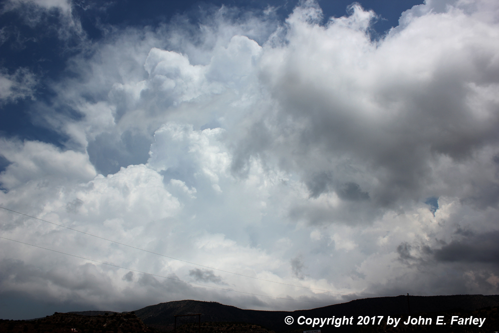
I was out the door around 10 a.m. from Santa Fe, stopping in Clines Corners to decide what to do next. By then I could see a decent storm already going up, around 11 a.m., not too far to my northeast. This storm would be possible to intercept along route 84 between Las Vegas and I-40, and would not take me far off my route toward an eventual target farther east. And this storm was right on the dryline, so it would have potential. So I headed east on 40 then up 84 to around Dilia and Anton Chico. The storm was pretty while I watched around 12:45 to 1:00 p.m., but did not seem severe, and in any case, I could not do much more than watch it cross in front of me because the limited roads in this area pretty much follow canyons and there is no northeast option off 84. So after a while I let it go, returned to I-40, and continued east. At this time there was an isolated storm near Clovis, but beyond that nothing until you got all the way down to between Roswell and Ruidoso, where a nice tornado was captured by a few chasers between 2 and 3 p.m. I did not know about it at the time, but that was way farther than I could have gotten to, so no matter.
At 1:23, SPC issued a discussion for eastern NM and the western TX panhandle regarding the possiblity of severe storms. They were still kind of downplaying things, saying there was only a 20 percent chance of a severe weather watch. That was a little discouraging, but I remembered that two days earlier they had said this twice, only to issue a watch not long later. Would that happen again today? As it turns out, yes, but I did not know that yet. I was a little uncertain what to do at this point, but leaning toward the storms northeast of Tucumcari, which were stronger and more numerous than the ones that had been around Anton Chico. Many hours later, though, the area southeast of Las Vegas lit up, with hail reports over several hours up to 3 inches in diameter - but that area would have been hard to chase in. So again, no matter.
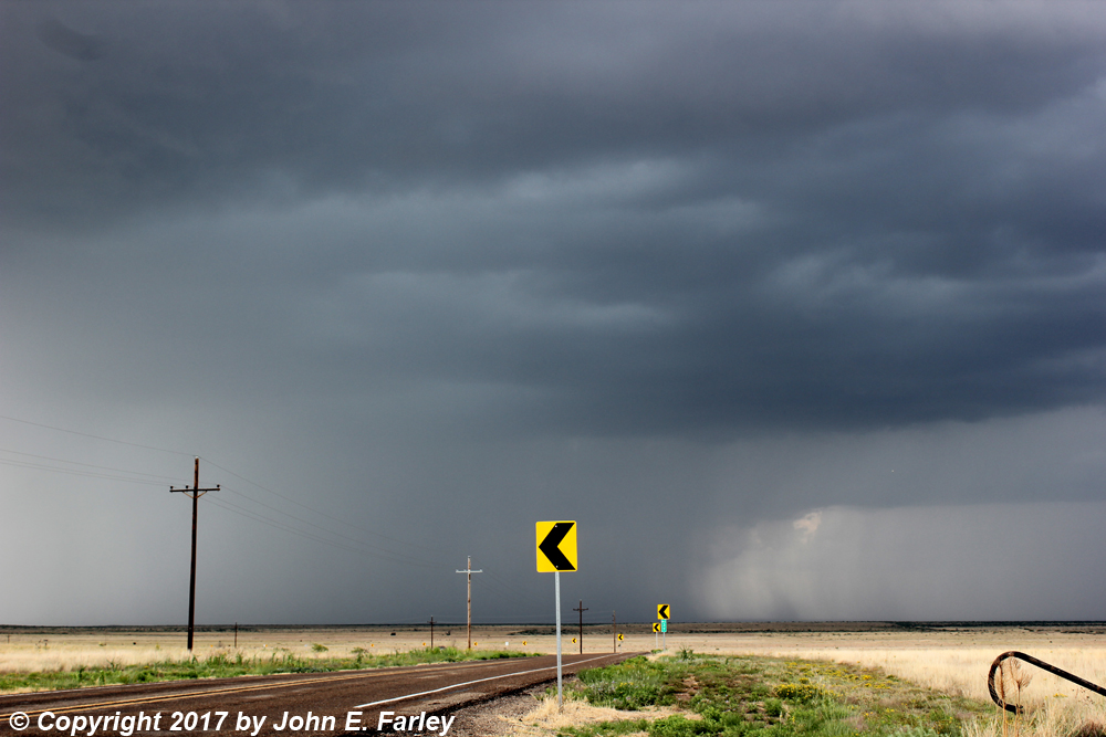
After a quick gas and lunch stop in Santa Rosa, I gradually began to see the storms that I had been watching on radar northeast of Tucumcari. The tail-end storm of the cluster was south or SSW of Logan, and I decided to head north from San Jon to intercept that storm. Around this time I heard that SPC had indeed issued a severe thunderstorm watch for eastern NM and the western TX Panhandle. So that makes 3 for 3 this week on watch issuances after saying there was only a 20 percent chance of a watch. By the time I got into the area of the storm it was around 3:15, and the storm was not too impressive at first. But a new updraft went up on the southwest end of the cluster of storms, and rapidly intensified, as I sat a few miles to its SE on 469. There was continuous thunder, all seemingly from in-cloud lightning, as I saw no CG. I let it cross ahead of me, and got a nice picture of it around 3:30 just to my NE, as it continued to intensify.
I continued to US 54, then went northeast on that route through Logan toward Nara Visa. A few miles out of Logan, with the storm now directly in front of me over 54, I began to notice hailstones on the road and on the ground near it. Somewhere around 5 miles NE of Logan and around 3:50 p.m., I stopped and photographed this stone, around 1.5" in diameter:

I called it in to the NWS (at that time, the storm did not have a SVR warning), and I later saw a report of golfball hail from another chaser in this same general area. The hail likely fell between about 3:35 and 3:45. I waited until the heaviest part of the storm seemed to be north of 54, then punched through. I got into some hail, but probably nothing bigger than about dimes if that - and not a lot. I continued on into Nara Visa, stopped, and looked back at the storm, which now (4:10 pm) seemed to be north of the highway.

At this point, I should have stayed put or doubled back toward the storm as things turned out, but the radar was showing heavier storms up the line to the NE in Texas, so I crossed into Texas. Before long, a new storm was going up right in front of me, so I cut east off 54 onto 767 to avoid the core and view the new storm from its south. As I was doing that, the new storm intensified, again with a lot of thunder and in-cloud lightning, but I soon noticed impressive lowerings well off to the west on the storm I had originally been on - now at least 20 miles away. Fortunately, I had a camera with a 70-300 zoom lens, and was able to photograph this around 4:40 or 4:45:

It just lasted a few minutes, and I was too far away to tell about rotation (though I heard from other chasers later that there was rotation but not ground contact). Around this time, a SVR warning was issued for the storm, which also mentioned the possibility of a tornado. A few minutes later and to the left of where this feature was, what appeared to be a funnel formed:

Again, I was way too far away to tell (the image above is a capture from very zoomed video), but heard later that there was one. Obviously, at this point I decided I needed to return to the storm I had been on earlier, so I headed back up to 54, getting into some small hail near the junction of 54 and 767, and then back into NM, where I got this view of the storm from a little NE of Nara Visa just before 5 p.m.:

Kind of the appearance of half a mothership from this angle. I then went north a bit from Nara Visa, but the storm seemed to be weakening quickly. I then waffled back and forth between this storm and the Texas ones, as both areas of storms seemed to wane and wax for a while. Finally, somewhere around 5:15 or 5:30, I decided to commit to the NM storm, as it seemed to be holding its strength a little better and was more isolated. I headed north from Nara Visa on NM 402 then west and eventually north on back roads. The storm by this time was drifting very slowly to the north or even NNW, as its backbuilding to the west seemed to more than offset the weak northeastward steering currents. Along the back road, we had chaser convergence (the good kind), as I met Blaize Justice and had a nice visit with him about the storm, chasing, and (yes, believe it or not) northern pike fishing. After that I continued on and got some of my favorite pictures of the day, even as the storm was now clearly weakening. But with the sun behind it, the storm and its surroundings took on a spectacular appearance around 6:20 p.m.:

Here is a map showing the track of this storm, the locations of the phenomena that I observed with it, and the locations from which I observed them. As mentioned, way too far away for the best lowerings, but it is what it is.

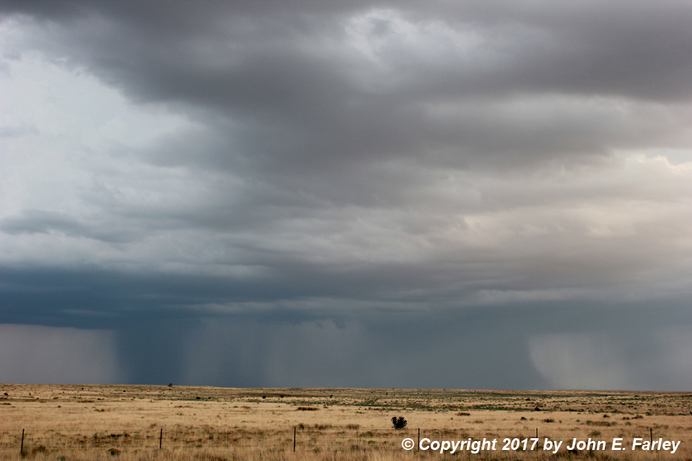
By around 6:30, it looked like the storm was dying out, so I decided to head back through Nara Visa to get lodging for the night in Logan. However, visually and on radar, it quickly became evident that one reason the storm had faded was that a new cluster of storms had exploded SE of route 54 between Logan and Nara Visa, not far from where the earlier storm had developed more than 3 hours earlier. These storms were putting down copious amounts of rain and hail south and SE of route 54. Most of this cluster of storms, now SVR-warned, was south of 54, but there was an updraft on the northern flank of the storms right over the highway between me and Logan. There was a rainfoot just south of the updraft that looked like it was just barely reaching the highway. A piece of rising scud formed right under the updraft ahead of me - here is a picture of the storm at this time:

The scud rose and became attached to the updraft base, but since there did not appear to be rotation and the rainfoot barely reached the highway, I decided to punch through. I got into a little small hail, some torrential rain, and gusty wind, but no real problem. A few miles further, I got to what looked from the radar to be the most intense updraft of the storm cluster, probably an HP supercell embeddeded in the southwest part of the cluster. There was a wall cloud with a lot of motion but little rotation that I could see, rain wrapping from west to east just to its N or NE, and an intense rain and hail core with near-continuous lightning to its NE.

I watched that for a while. One dime-sized hailstone hit the ground and bounced toward me, but that was it in this location, except for a little rain. As the meso gradually disappeared into the rain, I decided to go through Logan on 54 then SE on 469 to see what I could see from that angle. As I approached the canyon 469 crosses just to the south of Logan, I saw this:

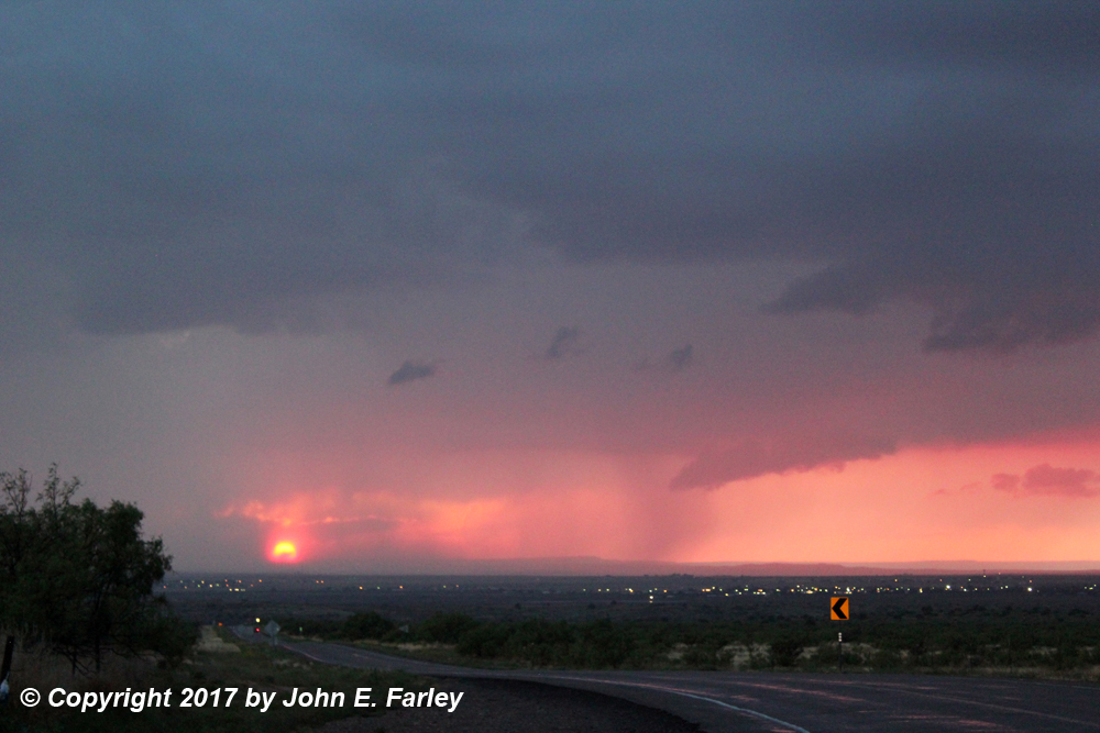
It was now around sunset, about 8 p.m., and too dark and I was too far away to tell exactly what this was. I think most likely it was a scud column, but there certainly could have been a transient funnel in there. I watched it for a minute or two and got a little video (from which the above picture is a capture) as I drove toward the canyon, but when I came up the other side, it was gone, with just a wide, slightly lowered area under the updraft left. I stopped there and watched the lightning show, along with a sunset through some rain to my northwest, for a while, before heading back into Logan to find lodging and dinner. This storm, combined with the earlier one, ended up dropping 2-4 inches of rain along route 54 and for a few miles both sides of it between Logan and Nara Visa.
Here is a video showing the wall cloud, rainfoot and lightning at my first stop after I punched under the updraft and through the rainfoot, and also showing the lowering around sunset:
Here is a map showing my observations of this storm:

With the area in drought, this was much-needed rain, though it fell a bit too quickly, leading to at least 3 flash flood warnings along and near 54 in both NM and TX. It also produced 1-inch hail in Nara Visa, although there certainly may have been some bigger than that in the relatively uninhabited areas southeast of 54 where the strongest part of the storm was. This storm also drifted very slowly to the north or NNE, covering many of the same areas affected by the earlier storm.
Chase distance for the day: About 420 miles.
Total chase distance including return the next day: About 610 miles.