
Conditions were favoralbe for morning thundersnow in the Sangre de Cristo Mountains northeast of Santa Fe, and perhaps for supercells and severe thunderstorms in eastern NM later in the afternoon. Regarding the morning thundersnow setup, models were predicting strong convection in the early mroning hours over the Sangres, with temperatures cold enough for snow above around 9500 feet. So the p-type would be snow/graupel with a decent chance for thunder around Ski Santa Fe, which has a base elevation of aorund 10,300 feet. The HRRR model showed isolated strong convection in the mountains through the early morning hours until around 10, with a squall line moving in from the northwest (individual cells likely moving NE, but the line shifting toward the SE) around 10 a.m.
The Morning Chase in the Mountains
So based on the model forecast from the night before, I was up early before 7, and looking out the window could see a line of cumulonimbus off the the northwest. Radar confirmed a strong sqall line alligned NE-SW through the Jemez Mountains extending back SW to west or NW of Albuquerque, with individual cells moving NE. Pretty much like the model had predicted. And the lighting tracker showed lots of lightning in the northern portion of the Jemez Mountains, where thundersnow was almost certainly occurring at the higher altitudes. Game on!
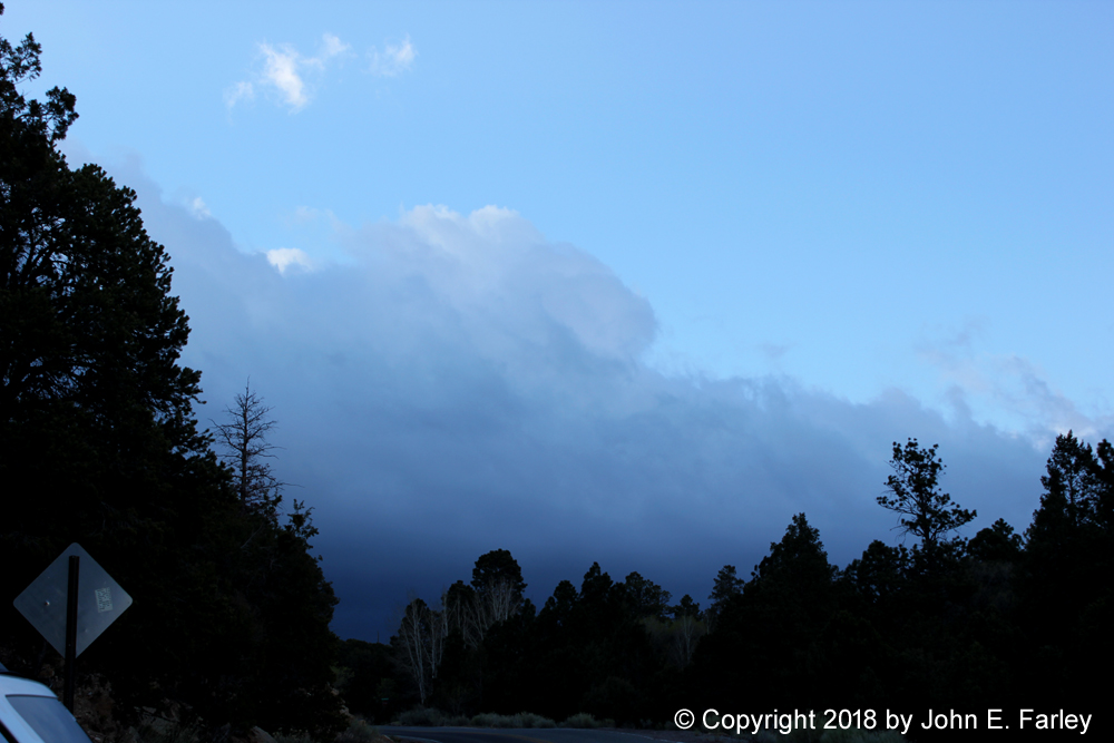
I was out the door around 7:15 and heading up into the Santa Fe National Forest to the area around Ski Santa Fe. I stopped a couple times to take pictures of the approaching squall line; here is one I took from between Hyde State Park and the Aspen Vista overlook, looking NW toward the Jemez Mountains:
There were also some convective buildups on the south side of the mountain, which were moving north in my general direction. Strong southeasterly winds were blowing on the mountain. I continued on up to the scenic overlook just below the ski area, elevation around 10,000 feet. To make a long story short, the squall line never made it there, sliding off to the northeast instead. However, the buildups south of the mountain did develop into snow showers and eventually a snow thunderstorm, but that did not happen until it had moved over to the other side of the mountain. Around the scenic overlook and the ski area, there was one heavy shower of graupel (snow pellets), which accumulated to perhaps 1/3 of an inch on the grassy areas and a little on the road, but no thunder. This occurred between about 8:20 and 8:40 a.m.. After this passed over, another lighter shower with ordinary snow instead of graupel moved through around 8:50 a.m. Again, no thunder. The temperature during both of these showers was around 32 or 33 F. The showers continued to intensify as they moved on to the north or NNE, and did produce a couple lightning strikes in the snow/graupel 20 or 30 miles NNE, a little to the west of the Sipapu ski area. So I missed by that much. Overall, though, the storm underperformed relative to expectations in the Sangres. There was a winter weather advisory for 3-5 inches of snow accompanied by thunder, and that did not happen. The highest snow report I saw from anywhere was 2 inches, and although it may have snowed a little more after I left, I am pretty sure the area around Ski Santa Fe did not even get an inch. The Jemez and San Juan Mountains and the northern Sangres did a little better, but again nothing more than 2 inches reported anywhere in NM. By around 9 or so it was beginning to look like nothing more was going to happen, and having skipped breakfast to get up there quicker, I was hungry and in need of coffee, so I headed back down into Santa Fe, arriving back around 9:30 a.m. I also wanted to look at morning model runs and see if a chase in the eastern plains in the afternoon was warranted.
Morning chase distance: 32 miles
The Severe Thunderstorm Chase on the Eastern Plains
Several days earlier, it had looked like a decent potential chase day for Friday, April 20 in the Texas Panhandle. But over the course of a few days, the threat shifted southward and weakened in the model forecasts. By Wednesday night, I had pretty given up the idea of a high plains chase on Friday. But then late Thursday, the threat area began shifting back northward, and now a little farther west, including the far eastern plains of New Mexico from around I-40 southward. And the conditions also began to look a little more favorable for supercells and severe weather. Wind shear was insane, with strong southeasterly winds at the surface veering to southwesterly in the upper levels. Indeed this profile was already in place Thursday, when winds gusted from 48 to 58 mph from the south and southeast in Santa Fe, causing some damage - and the same kind of veering with height in place. But there was no moisture and no trigger, so no storms expected or happened Thursday. But Friday would be a different story, with dewpoints that had been predicted to be in the 30s or less now rising into the 40s or 50s on the eastern plains of NM, depending on which model you looked at. And there would be a trigger on Friday, as a strong low near the CO-NM state line would force a dryline east across the eastern plains of NM and eventually in to the western TX Panhandle. This caught my eye Thursday night, and was still in the models, perhaps a little more so, Friday morning when I studied them after my unsuccessful thundersnow chase. There would be some instability ahead of the dryline, CAPE perhaps 500-750 per the models - not a lot, but some. Also, SPC upgraded part of the area along the TX-NM stateline to slight risk, basically from I-40 southward. This was not a great setup, but you can get supercells with dewpoints and CAPE that low in the relatively high altutudes of eastern NM, and the directional wind shear was terrific - any isolated strong storm that could go up and stay isolated would likely rotate. So that was good enough for me to pull the trigger on a chase. Another consideration: This would likely be my only chase opportunity in April. Because of the western ridge/eastern trough pattern that was dominant from late March through all of April, it had been an exceptionally quiet start to the severe weather season on the southern plains. As of when I am writing this on April 22, there has still been not one tornado in Okalahoma, or for matter from there westward to the Rockies, so far this year. In four more days this will be a record for Oklahoma for the latest start to the tornado season, and with the pattern as it is now, there will be no chance until sometime in May. So if I wanted an April chase, this would be my one and only opportunity. So once again, game on!
Out the door - 10:45
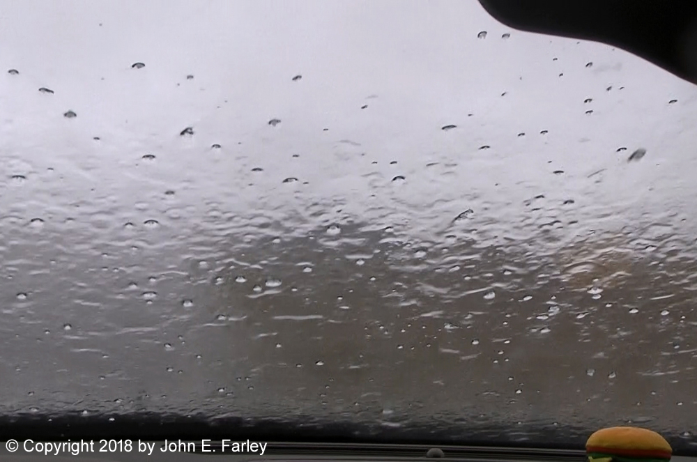
My initial target was somewhere around Clovis, NM, or perhaps between there and Tucumcari. As I left Santa Fe, I noticed more clouds building up over the south slopes of the mountains, so I decided to go to I-40 via I-25 to near Las Vegas then SE on U.S. 84. This would let me see if any thundersnow broke out in Glorietta Pass, and would not add much travel time. None did - the showers were well north by then. But after I headed southeast from Las Vegas, I sort of got what I was looking for. A NE-SW alligned band of convection was occuring east and south of Las Vegas, and within ten minutes or so of heading down 84 I was in rain and saw a flash of CG (cloud-to-ground) lighting. In a couple more miles, the rain became mixed with partly-melted graupel and snow. My favorite oddball precipitation type - what I call "thunderslush!" The time when this occurred was around 12:10. The temperature fell from around 50 before I entered the storm to 40 during the "thunderslush." Although I saw lightning, by the time I stopped and got the camera going, I was unable to get any thunder or lightning on video with the partially melted graupel and snow falling. When I opened the window to take video, the rain, snow, and graupel came in; below is a picture of the partly melted snow and graupel that landed on my shirt. After I got ahead of the line of thunderstorms, the temperature quickly rose to around 60.

So although my morning thundersnow chase was unsuccessful, I did luck into experiencing some snow with thunder and lightning, albeit mixed with rain and without being able to get the lightning or thunder on video. But it was there.
When I got to Santa Rosa, I stopped for lunch, gas, and to check data. I had a few of the usual first-chase equipment problems, but nothing critical. I could see that the leading line of storms was strengthening ahead of me just east of Tucumcari, so the strategy was to punch through these and try to get ahead of the line near San Jon or Bard, then depending on the situation either intercept the storms there or head south toward Clovis. By around 1:00 p.m. numerous individual storms were going up ahead of the main line. I ended up punching through multiple storms between Cuervo and San Jon between around 1 and 2 p.m. Radar showed one storm SW of San Jon with a supercell appearance for a short time, but it wass quickly absorbed into other storms. Everything was pretty multicellular, but the main line S of Tucumcari was pretty clearly the strongest, with radar returns that indicated a likelihood of hail. There were also lots of storms going up to its southeast.
I exited at San Jon then headed to a location 6 miles WNW of San Jon on old Route 66 (parallels I-40), and 10 miles ahead of the storm - but I could not see it due to the large amount of dust in the air. This was around 2:45. Strong southeasterly winds had been blowing in this area for the past 24 hours or so, and the air was very dusty, limiting visibility. The temperature ahead of the storms wass in the upper 60s, warmer than anything I had previously encountered, but warmer would have been a better setup for severe weather. Again, a strong SE wind and lots of blowing dust. The first of several special weather statements for this storm was issued around 2:30. There were strong radar returns S of Tucumcari to just SE of Tucumcari, to my W and SW - this was a heavy cell at tail end of main line. Reflectivity was suggestive of hail and very heavy rain, and the velocity scan showed strong convergent winds along the leading edge of the storm.
3:00-3:15 - Now I was finally in sight of storms, which looked a very unusual brown color due to the dust in the air. The storms were now around 5 miles away, which was about as far away as you could make out any storm features due to the dust in the air. Here are a couple pictures showing the unusual brown color of the storms. Notice that even the precipitation shafts look brown


3:20-3:30 - Around this time frame, the leading edge of storm moved over, with heavy rain, gusty wind, and hail to 1/3 inch. Maybe a few to 1/2 inch, nothing bigger. But enough that I retreated east a few miles to get out of hail, and stopped again.
3:30-3:40 - In my new position I am back ahead of the storm, getting more pictures of the unusal brown-colored storm.

In some of the brighter areas of the storm, it even had an orange look. Sometimes you see this near sunset because of the color of the setting sun, but this was nowhere near sunset. Instead, it was because of the light coming through the reddish-brown dust in the air.
3:45-4:10 - I stopped at an underpass to be out of the hail when the storm catches up, and this time I took video. I succeeded at getting some nice lightning shots, again along with the brown color of the storms.


Eventually the storm arrived with 40-50 mph wind, heavy rain, and hail 1/4 inch and smaller. A half miie or so east of me, traffic slowed abruptly on I-40 and when I left later, I saw hail accumulated along the side of the road in that area. On my video, I captured a horizontal bolt of lightning behind a tree:

A few minutes later another bolt struck very close, either hitting the tree or more likely in the field or along I-40 right behind the tree, with a nearly instant crash of thunder - but I did not have the camera on then.
4:15-4:40 - The strongest of the storm had passed, so I headed east of San Jon on old Route 66 to see if I could get back ahead of the storms, but eventually the quality of the road degraded and, seeing no way to get back up to I=40 (there are places to do this near Bard and Endee, but I either missed them or did not go far enough), I returned back toward San Jon. I stopped about 3 miles east of San Jon to watch a strong new storm coming up from the SSW with lots of lightning. Even though rain had fallen in the area, the core of this storm still looked brown:

4:40=5:00 - Since all the hail up to then had been sub-severe and I was pretty sure I was nearing the end of my chase, I decided to let this cell move over me. It produced torrential rain, copious pea-sized hail, and gusty winds perhaps around 40 mph, this time from the northwest. There was also something frozen but softer mixed in with the rain and hail at times, perhaps partially-melted snow or graupel. By now, the storm's downdraft had pulled down enough cold air that the temperature was back down to 50.
After this passed, I decided to call it a chase and head back to Santa Fe. There was a broken line of storms southward from my location through Clovis and well to the south, but the leading edge along I-40 was already into TX, so I doubted my ability to get back ahead of the line. And still nothing was SVR warned. This was a good decision, as by the time I was back as far as Cline's Cornerss around 7 MDT, the leading edge of the line had surged all the way past Amarillo.
Special weather statements/significant weather advisories were issued roughly every half hour from 2:30 through 4:30 for these storms, all mentioning gusty winds and hail. Some mentioned a potential for hail as large as nickel size, and wind as high as 55 mph. The largest hail I saw, however, was 1/2 inch or less, and the strongest winds probably 40-50 mph. Definitely sub-severe. Many chasers who were unimpressed with this day's setup focused on low dewpoints, which ended up in the 40s in the area where the storms occurred, as a major limiting factor. Dewpoints that never made it higher than the 40s were certainly part of the reason the storms stayed sub-severe, but I think there was more to it than that. With the relatively high elevation, you can get supercells and/or severe weather on the eastern plains of NM with dews that low, though admittedly that is more true up in the higher elevations around, say, Wagon Mound or Raton than near the TX state line. That said, I think other factors were also at play because the storms did not appear particularly moisture starved, and the failure to get sustained supercell structures seemed more tied to too many storms than to lack of moisture to sustain storms. Every time new storms went up to the southeast of existing storms, lots went up at once and the mode quickly became multi-cellular. I think limited instability was a major limiting factor, not just because of low dews but also relatively low temperatures - even out ahead of the storms, my car thermometer never got out of the 60s. My guess would be that if you added ten or 15 degrees and a little more cap, there would have been fewer and more isolated storms with a better chance of sustained supercells. Certainly the wind profiles were favorable and the way the wind was screaming from the southeast just ahead of the storms, there had to be a lot of surface convergence along the dryline - which may also have contributed to the large number of storms. In addition to the special weather statements, there was also a flood advisory, and I did see a lot of standing water all over after the storms. The most interesting aspect of these storms was their brown, even in spots orange, color due to the dust in the air. One important thing these storms did do was to provide much-needed rain, 1/2 inch to an inch in many areas and locally more, across the eastern plains of NM and the western TX Panhandle. These areas are in extreme to exceptional drought, so the mositure was much-needed. In many locations, such as Amarillo, these storms produced more precipitation in one day than had fallen in all of 2018 up to then. Here is a map showing radar-estimated precipitation across eastern NM and the western TX Panhandle:

Green represents 1/2 inch or more, yellow an inch or more, and red 2 inches or more. The Tucumcari airport, east of town on the west edge of the heaviest band, reported .89" of rain and a spotter in San Jon, on the east edge of the heaviest band, reported .50". Amarillo's airport, also east of town, reported .42", nearly tripling the annual rainfall total.
Eastern NM chase distance: 429 miles
Total chase distance for day: 461 miles